
About NagarMatrix
A geospatial engineering company built around measurement — instruments in the field, research-grade analysis behind the desk, and deliverables written so a technical reviewer can check them.
What we do
NagarMatrix Ventures Private Limited captures, processes and supplies geospatial data, and builds the planning and municipal systems that run on it. The work spans instrument survey, subsurface geophysics, hydrological modelling, satellite data analysis, statutory urban planning and three-dimensional city modelling.
Holding all of that under one roof is deliberate. Spatial projects usually lose accuracy at the handovers — a survey passes to a modeller, who passes it to a planner, and by the third step nobody can say what the original tolerance was. When the same organisation carries the work from control point to final drawing, provenance survives.
How we work
Every assignment starts with a written accuracy standard and a defined deliverable list, agreed before mobilisation. Every dataset is validated against independent check points that were not used in the adjustment, and ships with an accuracy report stating what was achieved.
Schemas are documented, methods are stated, and analysis runs on reproducible workflows rather than one-off manual steps. That matters for two reasons: a technical audit can follow the reasoning, and the client can re-run the analysis next year without commissioning it from scratch.
Research foundation
The technical leadership holds a doctorate in groundwater mapping and a master's degree in geospatial technology, with peer-reviewed publications in SCI and Scopus-indexed journals. That background shows up in the work as method discipline — weighting schemes documented, accuracy assessment reported, assumptions stated rather than buried.
It also means we are comfortable working with universities and research groups on datasets and analysis intended for publication, where the standard of documentation is higher than most commercial work demands.
Capability
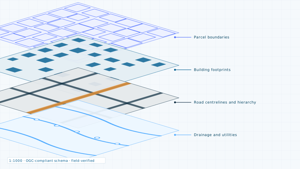
- Field instruments — total stations, dual-frequency GNSS, terrestrial and mobile LiDAR, resistivity meters
- Aerial — DGCA-permitted UAV operations for photogrammetry, LiDAR and oblique capture
- Satellite — access to 84 commercial and open data products across optical, radar, hyperspectral and thermal
- Modelling — SWMM and HEC-RAS hydraulics, RES2DINV geophysical inversion, CityGML and 3D Tiles city modelling
- Analysis — Google Earth Engine, ArcGIS Pro, QGIS, PostGIS and an open-source Python geospatial stack
- Software — municipal revenue, citizen services and workforce platforms, deployed on infrastructure in India
Compliance
We operate as an Indian entity under the Geospatial Data Guidelines 2021, which allows survey, mobile mapping and fine-accuracy data handling over Indian territory that is not open to foreign-controlled companies. Sub-metre geospatial data of Indian territory is stored and processed on servers located in India. Dissemination of satellite imagery at 30 cm GSD or finer over Indian territory is handled under IN-SPACe authorisation.
Who we work for
- Urban local bodies and state government departments
- Engineering consultants, EPC contractors and infrastructure developers
- Universities and research institutions
- Donor and multilateral-funded urban programmes
Empanelment and tenders
For empanelment enquiries or tender participation, write to us with the reference number and the last date for submission.
Working on something that needs measured ground data?
Tell us the problem rather than the method, and we will propose the survey or dataset that answers it.