NagarMatrix Ventures Pvt Ltd | Urban geospatial services & municipal software
+91 95023 53944|info@nagarmatrix.com
Home/Services/Electrical Resistivity Survey

Electrical Resistivity Survey

Non-invasive subsurface investigation that tells you what is below before you commit to drilling or foundation design.

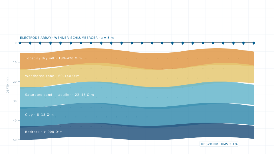
Electrical Resistivity Survey — illustration of a typical deliverable
Typical deliverableInverted two-dimensional resistivity section with interpreted layers and the aquifer zone identified.

Resistivity surveying measures how readily the ground conducts current, which changes sharply between dry soil, saturated sand, clay and rock. Interpreting that contrast gives you a layered picture of the subsurface without a single borehole.

We run vertical electrical sounding where a one-dimensional layer model is enough, and two-dimensional imaging where lateral variation matters — a fracture zone, a saline wedge, or a landfill plume. Field data is inverted in RES2DINV or IPI2Win and interpreted alongside available lithological logs.

What you receive

  • Field data sheets and apparent resistivity curves for every sounding
  • Inverted 2D pseudo-sections with the model fit statistics reported
  • Layer model giving depth, thickness and resistivity of each interpreted unit
  • Interpretation report correlating resistivity with likely lithology
  • Drilling recommendation with depth range and expected yield zone, where the scope is water supply

Specification

Configurations
Schlumberger, Wenner, Wenner-Schlumberger, dipole–dipole
Investigation depth
To approximately 200 m, dependent on spread length and ground conditions
Inversion software
RES2DINV, IPI2Win
Deliverables
Pseudo-sections, layer models, interpretation report
Correlation
Interpreted against available borehole logs and regional hydrogeology
Typical turnaround
5–12 working days for a set of soundings, including interpretation

Typical applications

  • Borewell siting and yield assessment
  • Bedrock depth for foundation design
  • Saline intrusion and contamination mapping
  • Landfill and dump-site investigation
  • Aquifer geometry for groundwater studies
Request this service
Quote turnaround2 working days

Need the data instead?

If a survey is more than the job requires, the data store lists 84 licensable imagery, elevation and vector products.

Open the data store

Related services

Groundwater Study

Groundwater Study

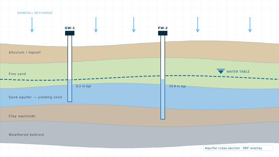
Aquifer characterisation, recharge potential mapping and water level trend analysis.

Drainage Study

Drainage Study

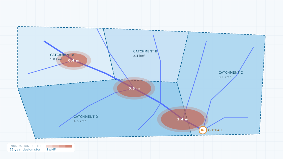
Catchment delineation, storm-water network modelling and flood risk mapping.

Planning a electrical resistivity survey?

Send the site extent and the accuracy you need. We will come back with a scope, a deliverable list and a price.