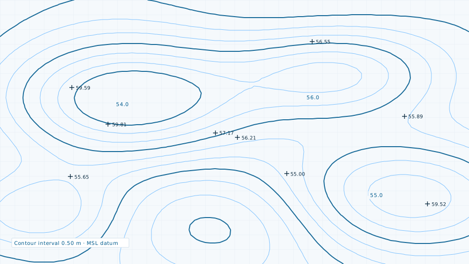
Contour Survey
Contour generation at engineering intervals for drainage, road profiling and earthwork.
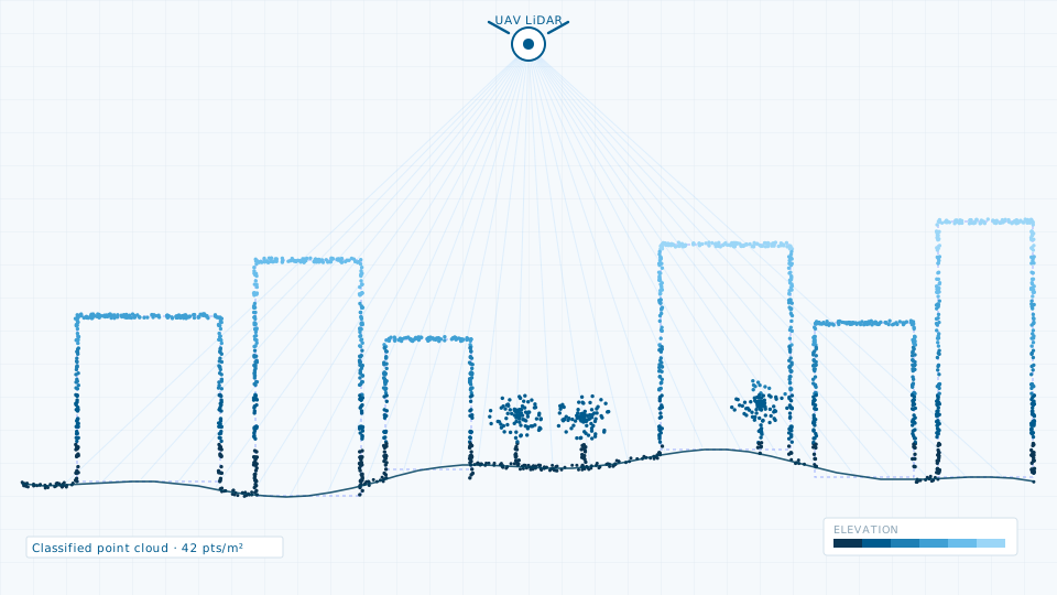
LiDAR gives you a measured three-dimensional record of a site rather than an interpretation of it. We operate terrestrial, vehicle-mounted and UAV-mounted scanners, choosing the platform by the shape of the job: a road or drain corridor is captured mobile, a dense market area terrestrially, and a whole ward from the air.
Every dataset is registered to GNSS-observed control, classified to ASPRS conventions, and validated against independent check points that were not used in the adjustment. The accuracy report that ships with the data states what was achieved, not what was promised.
If a survey is more than the job requires, the data store lists 84 licensable imagery, elevation and vector products.
Contour generation at engineering intervals for drainage, road profiling and earthwork.
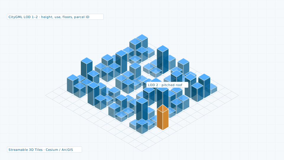
CityGML city models, textured meshes and streamable 3D Tiles.
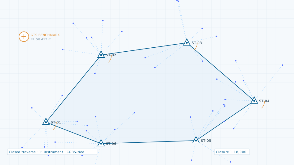
Control network establishment and detailed topographic pickup for DPR-grade drawings.
Send the site extent and the accuracy you need. We will come back with a scope, a deliverable list and a price.