NagarMatrix Ventures Pvt Ltd | Urban geospatial services & municipal software
+91 95023 53944|info@nagarmatrix.com
Home/Services/Drainage Study

Drainage Study

A hydraulic model of how water actually moves through a city, and where the network runs out of capacity.

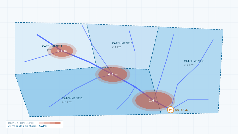
Drainage Study — illustration of a typical deliverable
Typical deliverableDelineated catchments, drain network and modelled inundation depth for a 25-year design storm.

Urban flooding is usually a capacity problem in a specific set of reaches, not a general one. A drainage study locates those reaches. We delineate catchments from a terrain model, inventory the existing network with invert levels, build a hydraulic model, and run design storms through it.

The output is a prioritised list of works with the hydraulic justification attached — which is what a DPR annexure or a funding proposal has to demonstrate.

What you receive

  • Catchment and sub-catchment delineation with area, slope and time of concentration
  • Drain network inventory with sections, invert levels and connectivity, as GIS layers
  • Calibrated hydraulic model with design storms at 2, 5, 10 and 25-year return periods
  • Flood inundation maps showing depth and extent by scenario
  • Capacity gap analysis identifying under-capacity reaches
  • Prioritised works list with indicative sizing and hydraulic justification

Specification

Modelling software
EPA SWMM, HEC-RAS
Terrain input
LiDAR or UAV-derived DEM, 0.5 m preferred
Rainfall input
IDF curves from IMD records for the station nearest the site
Return periods
2, 5, 10 and 25-year design storms as standard
Output formats
SHP, GeoTIFF depth grids, model files, PDF report
Typical turnaround
6–12 weeks for a municipal area, including field inventory

Typical applications

  • City drainage master plan
  • DPR hydraulic annexure
  • Flood risk and vulnerability mapping
  • Outfall and pumping station sizing
  • Climate resilience planning
Request this service
Quote turnaround2 working days

Need the data instead?

If a survey is more than the job requires, the data store lists 84 licensable imagery, elevation and vector products.

Open the data store

Related services

Contour Survey

Contour Survey

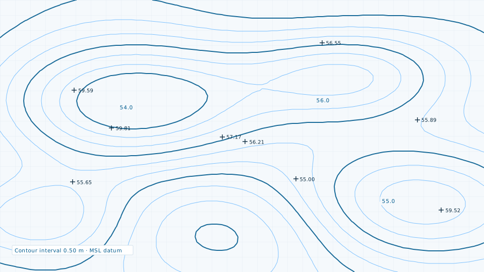
Contour generation at engineering intervals for drainage, road profiling and earthwork.
Groundwater Study

Groundwater Study

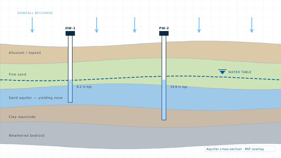
Aquifer characterisation, recharge potential mapping and water level trend analysis.
Planning a drainage study?

Send the site extent and the accuracy you need. We will come back with a scope, a deliverable list and a price.