LiDAR Survey
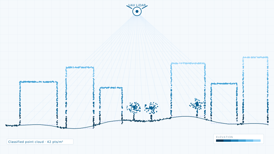
Terrestrial, mobile and UAV LiDAR for corridors, city blocks and asset inventories.
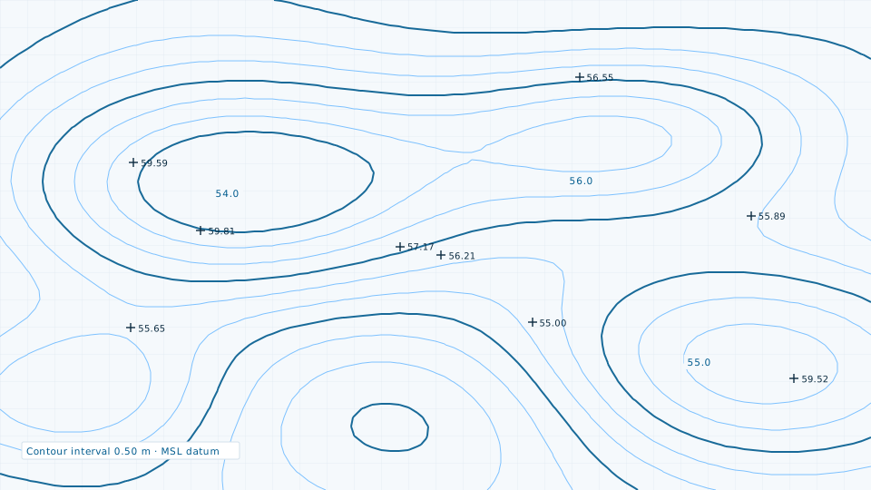
A contour plan is only as good as the terrain model underneath it. We generate contours from a bare-earth surface built specifically for the purpose, with breaklines along kerbs, drain inverts, embankments and other hard edges so the contours follow the ground instead of averaging across it.
Interval is chosen by what the drawing has to support: half-metre for general layout, quarter-metre for drainage design on flat urban terrain, one metre for larger regional work.
If a survey is more than the job requires, the data store lists 84 licensable imagery, elevation and vector products.
Terrestrial, mobile and UAV LiDAR for corridors, city blocks and asset inventories.
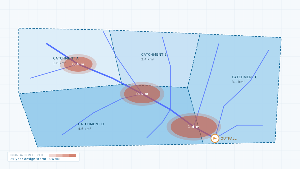
Catchment delineation, storm-water network modelling and flood risk mapping.
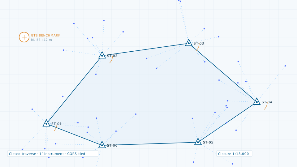
Control network establishment and detailed topographic pickup for DPR-grade drawings.
Send the site extent and the accuracy you need. We will come back with a scope, a deliverable list and a price.