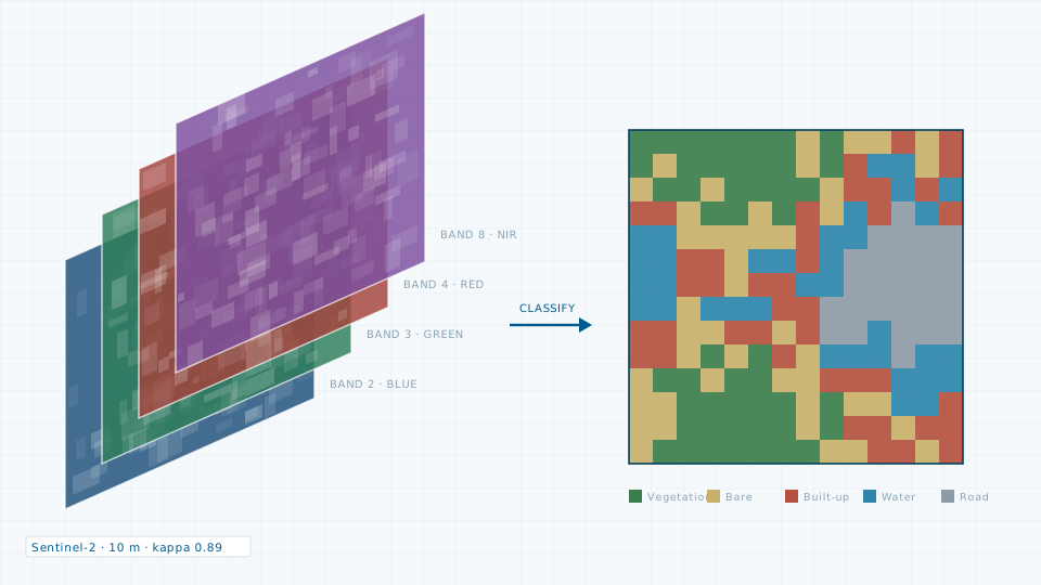
Remote Sensing Analysis
Land use classification, growth series, urban heat and change detection.

Parcels, buildings, roads, drains and utilities on a clean, documented schema that your department can maintain after handover.
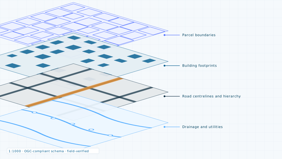
Most municipal GIS projects fail after handover, not during delivery, because the schema was never documented and nobody was trained to update it. We treat the schema as part of the deliverable: attribute domains, topology rules and an update procedure, written down.
Digitisation runs from high-resolution imagery and is then field-verified, so the map reflects what is on the ground rather than what was visible from above on the day the scene was captured.
If a survey is more than the job requires, the data store lists 84 licensable imagery, elevation and vector products.
Land use classification, growth series, urban heat and change detection.
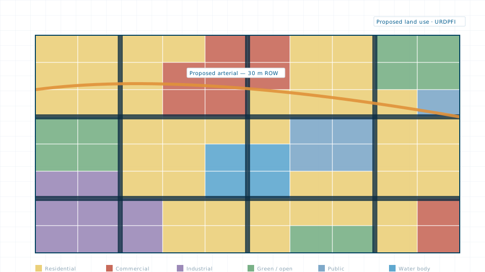
Master plans, land use plans, zoning schemes and Local Area Plans.
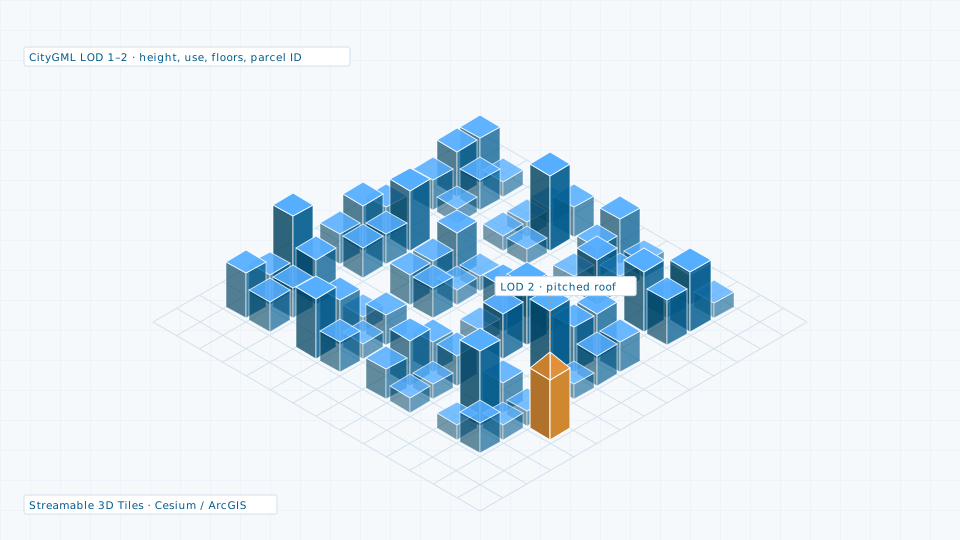
CityGML city models, textured meshes and streamable 3D Tiles.
Send the site extent and the accuracy you need. We will come back with a scope, a deliverable list and a price.