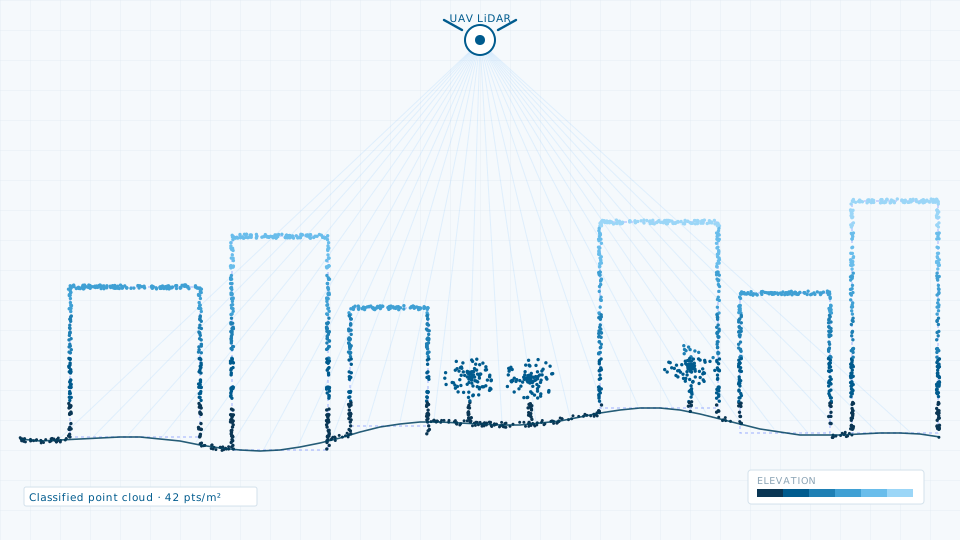
LiDAR Survey
Terrestrial, mobile and UAV LiDAR for corridors, city blocks and asset inventories.
Survey · Urban planning · Geospatial data
Our crews run LiDAR, total station, UAV and geophysical surveys on the ground. Our studio turns that into contour plans, GIS base maps, digital twin models, drainage and groundwater studies, statutory planning work — and the municipal software that runs on them.
Registered in Chhapra · Corporate office at Ashok Rajpath, Patna
Services
Survey, subsurface investigation, hydrological study, planning and 3D modelling delivered end to end, so a dataset does not lose accuracy or provenance when it passes from one specialist to the next.
Terrestrial, mobile and UAV LiDAR for corridors, city blocks and asset inventories.
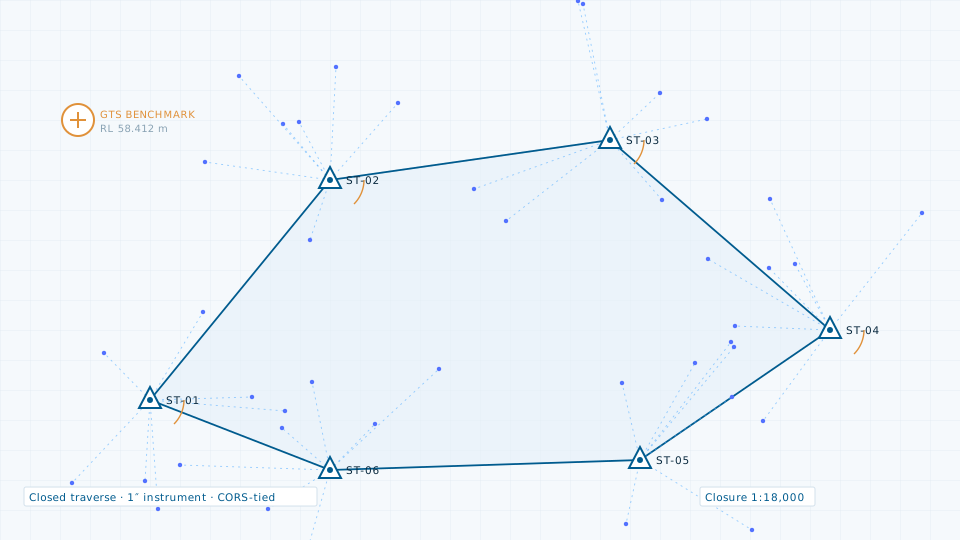
Control network establishment and detailed topographic pickup for DPR-grade drawings.
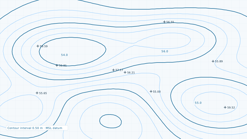
Contour generation at engineering intervals for drainage, road profiling and earthwork.
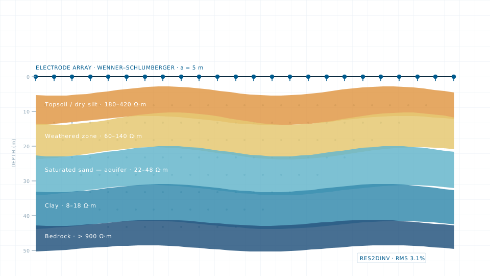
VES and 2D imaging to resolve aquifer depth, bedrock profile and contamination zones.
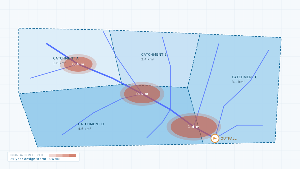
Catchment delineation, storm-water network modelling and flood risk mapping.
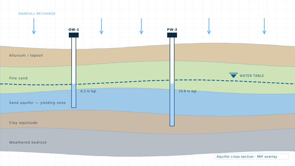
Aquifer characterisation, recharge potential mapping and water level trend analysis.
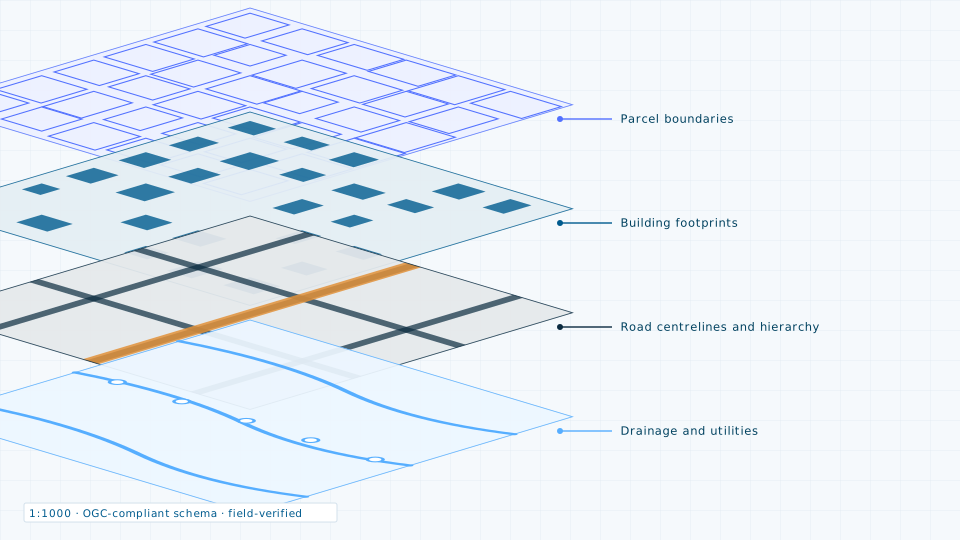
Ward-level base maps built from imagery and verified on the ground.
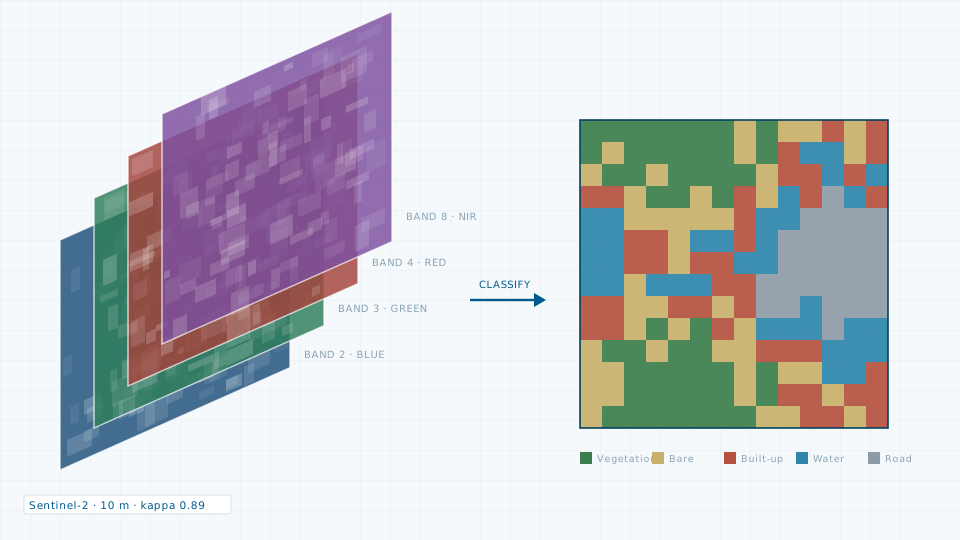
Land use classification, growth series, urban heat and change detection.
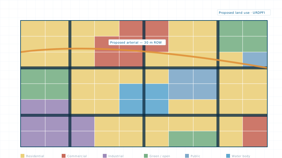
Master plans, land use plans, zoning schemes and Local Area Plans.
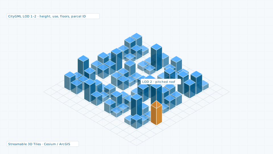
CityGML city models, textured meshes and streamable 3D Tiles.
How we work
Most spatial projects lose accuracy at the handovers. We hold the whole chain, so every deliverable traces back to a measured point.
Site recce, control point planning, accuracy standard and deliverable schema agreed in writing before mobilisation.
LiDAR, total station, UAV and geophysical crews in the field, plus satellite tasking or archive retrieval where remote sensing is the right instrument.
Registration, classification, orthorectification and independent check-point validation. Every dataset ships with an accuracy report.
Models, base maps and analysis delivered into your GIS stack with schema documentation and staff training.
Also available
Not every question needs a crew on site. For change detection, regional studies and quick feasibility work we source and license satellite and aerial data on your behalf — 84 products across optical, SAR, hyperspectral, thermal, elevation and vector, priced per square kilometre and delivered to your CRS.
22 products catalogued.
8 products catalogued.
14 products catalogued.
8 products catalogued.
10 products catalogued.
6 products catalogued.
8 products catalogued.
8 products catalogued.
We come back with a scope, a deliverable list and a price — usually within two working days.