NagarMatrix Ventures Pvt Ltd | Urban geospatial services & municipal software
+91 95023 53944|info@nagarmatrix.com
Home/Services/3D Modelling & Digital Twin City

3D Modelling & Digital Twin City

A queryable three-dimensional replica of the city — not a rendering, but a model with attributes you can run analysis against.

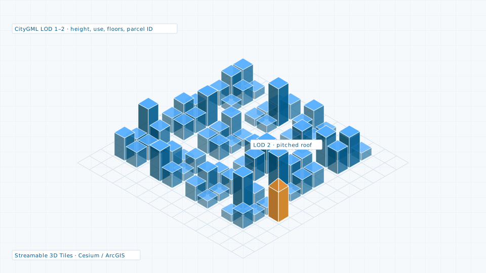
3D Modelling & Digital Twin City — illustration of a typical deliverable
Typical deliverableCityGML city model at LOD 1–2, attributed and streamable as 3D Tiles.

A digital twin is worth building only if it can answer questions. Ours are semantic models: every building carries height, footprint area, floor count, use and parcel identifier, so you can query the model for shadow impact, rooftop solar potential, flood exposure by floor, or floor space index compliance across a ward.

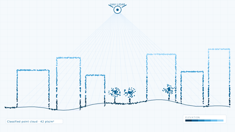
Geometry comes from LiDAR and UAV capture, textures from oblique imagery, and the result is published in CityGML for archival and 3D Tiles for streaming to a browser, so it works in your GIS and in a public-facing viewer.

What you receive

  • CityGML model at LOD 1 or LOD 2, LOD 3 for selected structures on request
  • Textured mesh from UAV oblique imagery
  • Streamable 3D Tiles tileset for web and Cesium delivery
  • Building attribute table linked to parcel and property records
  • Terrain surface integrated with the building model
  • Analysis outputs on request — shadow, visibility, solar, flood exposure

Specification

Level of detail
CityGML LOD 1 and LOD 2 standard; LOD 3 for selected structures
Geometry source
Classified LiDAR point cloud and UAV photogrammetry
Texturing
UAV oblique imagery, façade-mapped
Attributes
Height, footprint area, floors, use, parcel ID, roof form
Output formats
CityGML, OBJ, FBX, IFC, 3D Tiles, ESRI multipatch
Viewers
ArcGIS Pro and Urban, Cesium, QGIS, browser-based viewer
Typical turnaround
12–24 weeks for a ward-scale model, after capture

Typical applications

  • Shadow, visibility and solar potential analysis
  • Flood exposure by floor level
  • Building bye-law and FSI compliance review
  • Public consultation and visualisation
  • Utility routing and network planning
  • Disaster scenario simulation
Request this service
Quote turnaround2 working days

Need the data instead?

If a survey is more than the job requires, the data store lists 84 licensable imagery, elevation and vector products.

Open the data store

Related services

LiDAR Survey

LiDAR Survey

Terrestrial, mobile and UAV LiDAR for corridors, city blocks and asset inventories.

Urban Planning

Urban Planning

Master plans, land use plans, zoning schemes and Local Area Plans.

Planning a 3d modelling & digital twin city?

Send the site extent and the accuracy you need. We will come back with a scope, a deliverable list and a price.