Contour Survey
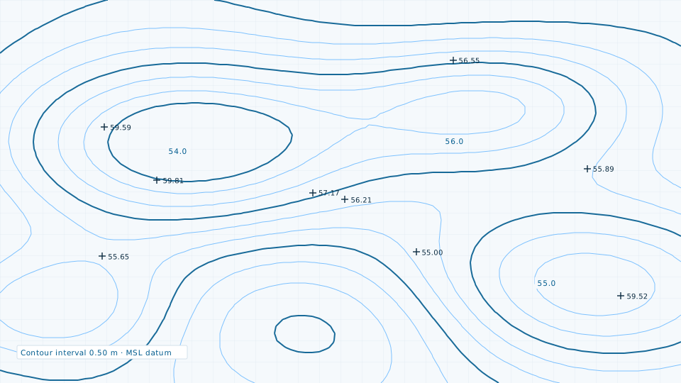
Contour generation at engineering intervals for drainage, road profiling and earthwork.
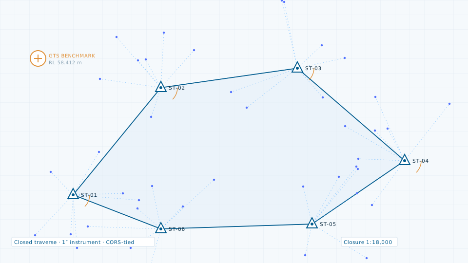
Total station survey remains the reference standard for engineering work: it is repeatable, defensible in an audit, and produces exactly the levels and dimensions a designer needs. We use it both as a primary method for smaller sites and as the control and validation layer beneath LiDAR and photogrammetric capture.
Work begins with a control network observed by differential GNSS and tied to available GTS benchmarks, so every subsequent pickup sits in a known coordinate system rather than a local one that cannot be recovered later.
If a survey is more than the job requires, the data store lists 84 licensable imagery, elevation and vector products.
Contour generation at engineering intervals for drainage, road profiling and earthwork.
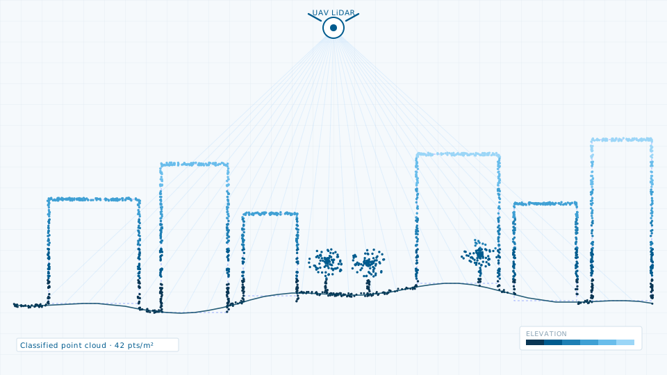
Terrestrial, mobile and UAV LiDAR for corridors, city blocks and asset inventories.
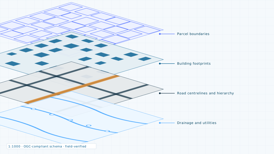
Ward-level base maps built from imagery and verified on the ground.
Send the site extent and the accuracy you need. We will come back with a scope, a deliverable list and a price.