NagarMatrix Ventures Pvt Ltd | Urban geospatial services & municipal software
+91 95023 53944|info@nagarmatrix.com
Home/Services/Urban Planning

Urban Planning

Statutory planning work prepared to URDPFI guidelines, with the full drawing set and the documentation an objection hearing demands.

Urban Planning — illustration of a typical deliverable
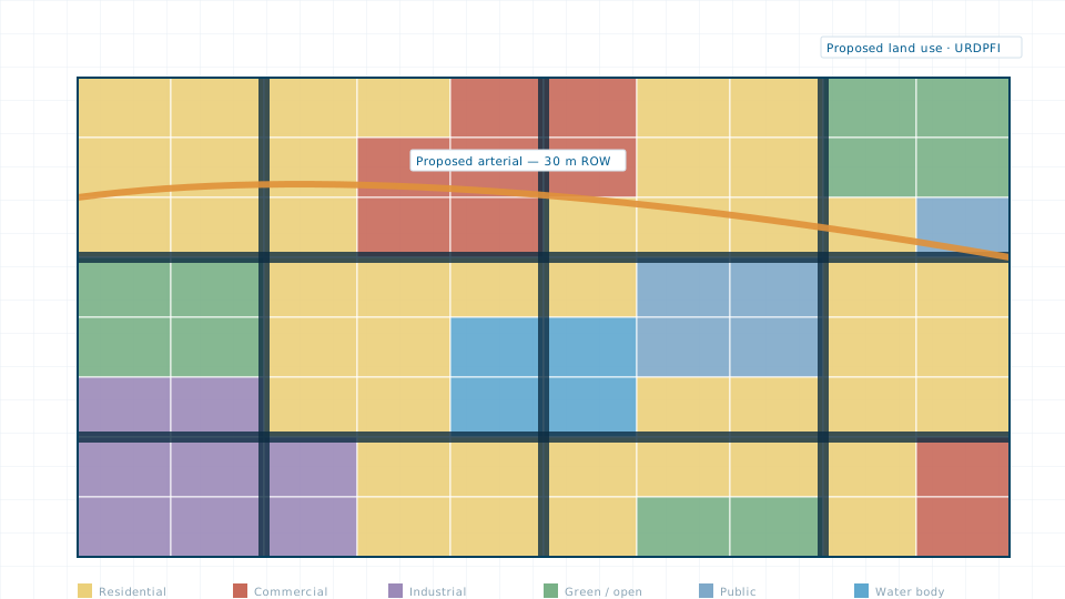
Typical deliverableProposed land use plan with zoning, road hierarchy and the statutory legend.

A plan that cannot survive scrutiny is not finished. We prepare master plans, land use plans, zoning schemes and Local Area Plans to URDPFI guidelines and the relevant state bye-laws, with the existing land use mapped from verified survey rather than assumed.

The drawing set, the development control regulations and the supporting analysis are prepared as one coherent package, so the numbers in the report and the lines on the map agree with each other.

What you receive

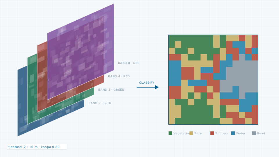
  • Existing land use map built from field-verified survey and imagery
  • Proposed land use plan with zoning and sub-zoning
  • Development control regulations drafted against state bye-laws
  • Population projection and density analysis with the method stated
  • Suitability analysis for growth direction and infrastructure siting
  • Traffic, transport and infrastructure network proposals
  • Full statutory drawing set and report volumes
  • Support through objection hearings and the notification stage

Specification

Frameworks
URDPFI guidelines, AMRUT 2.0, applicable state town planning acts and bye-laws
Base data
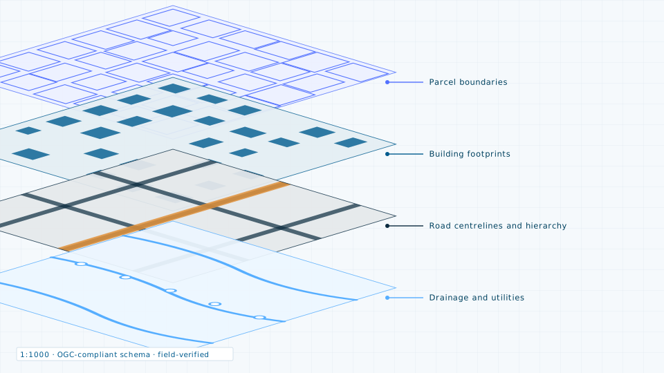
Field-verified GIS base map, satellite imagery, revenue records
Analysis
Suitability, density, growth projection, infrastructure gap
Deliverables
ELU and PLU maps, zoning plan, DCR, report volumes
Output formats
DWG, SHP, GDB, PDF plot sheets, printed volumes
Typical duration
9–24 months depending on the size of the planning area

Typical applications

  • Municipal master plan preparation and revision
  • Local Area Plans and town planning schemes
  • Zoning and development control regulations
  • Peri-urban and growth centre planning
  • Infrastructure and mobility planning
Request this service
Quote turnaround2 working days

Need the data instead?

If a survey is more than the job requires, the data store lists 84 licensable imagery, elevation and vector products.

Open the data store

Related services

Planning a urban planning?

Send the site extent and the accuracy you need. We will come back with a scope, a deliverable list and a price.