LiDAR Survey
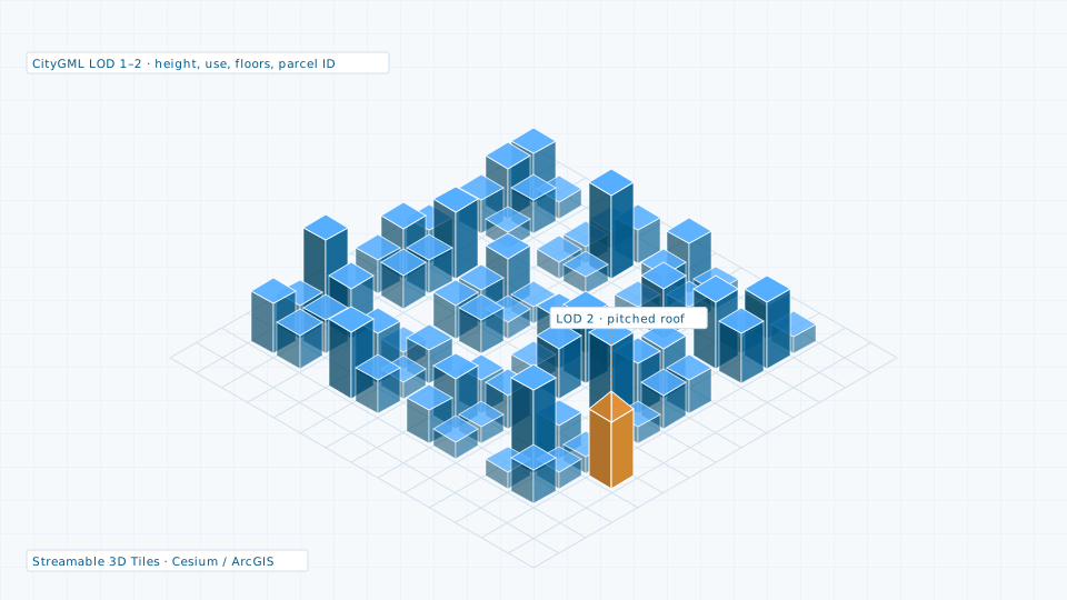
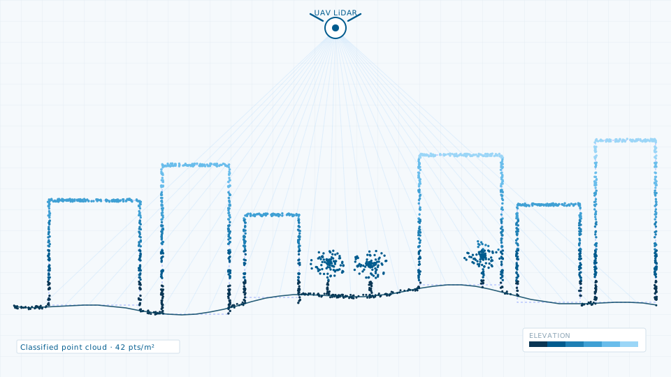
Terrestrial, mobile and UAV LiDAR for corridors, city blocks and asset inventories.
- Point density
- 8–100 points per square metre, set by platform and flying height
- Vertical accuracy
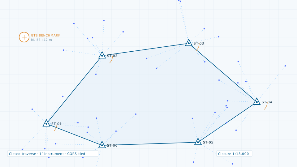
- ±3–5 cm against independent check points
- Horizontal accuracy
- ±5–8 cm, GNSS/CORS-tied